
When you hear Zanzibar, you might see coastlines and town names, a clean sketch of islands on a blue field. The picture is helpful, but the map earns its value when it begins to predict your day.
You spot Stone Town on the west coast, you notice the airport dot nearby, and then your mind starts placing meals, swims, and walks in a sequence that makes sense. A Zanzibar map turns from paper to plan. It shapes where your feet go, when you look for sunrise, and how you save energy for sunset.
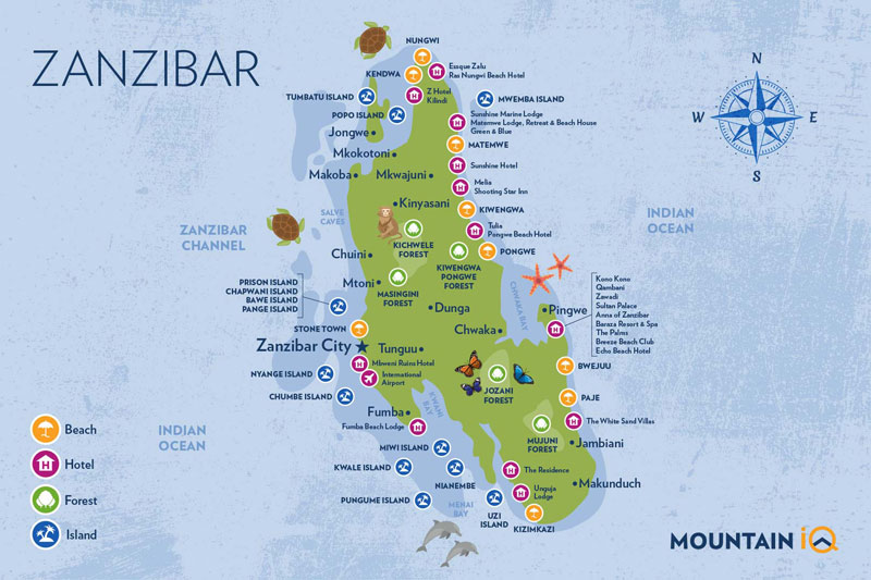
A good understanding of Zanzibar map helps you decide quickly. You see Unguja, often called Zanzibar Island, stretching north to south. You see Pemba to the north, greener and quieter. Between them, deep channels that carry strong currents and bright fish.
The small islets appear as tiny ovals. They look close, then the captain cuts the engine and you feel the sea lengthen the distance. That is part of the charm. The map gives scale, then the water edits it.
A Zanzibar map is not about memorizing roads. It is about making simple, confident choices. West for history and sunset. East for wind and wide beaches. North for open swimming and late walks. South for fishing coves and quieter evenings. You do not need to know every lane. You need a few anchors and a sense of direction.
The most useful anchors sit on every decent map. Stone Town and its port. The airport a short drive south. The east coast curve marked with beaches like Paje and Jambiani. The north tip pointing to Nungwi and Kendwa. Jozani Forest sitting inland with a green patch. Pemba drawn above like a sibling who prefers privacy. Keep these in view and you will plan with ease.

The first pass is always the same. You track the outline, then you look for names.
Stone Town, on the western side of Unguja. This is where ferries dock, where carved doors line the lanes, and where the light off the water makes evenings feel longer.
The airport, Abeid Amani Karume International, a small mark south of town. Easy to reach and easy to leave from when you fly onward.
The north coast, with Nungwi and Kendwa. The sea here stays kind for most of the year. Swimmers love it. So do people who want sunsets that last.
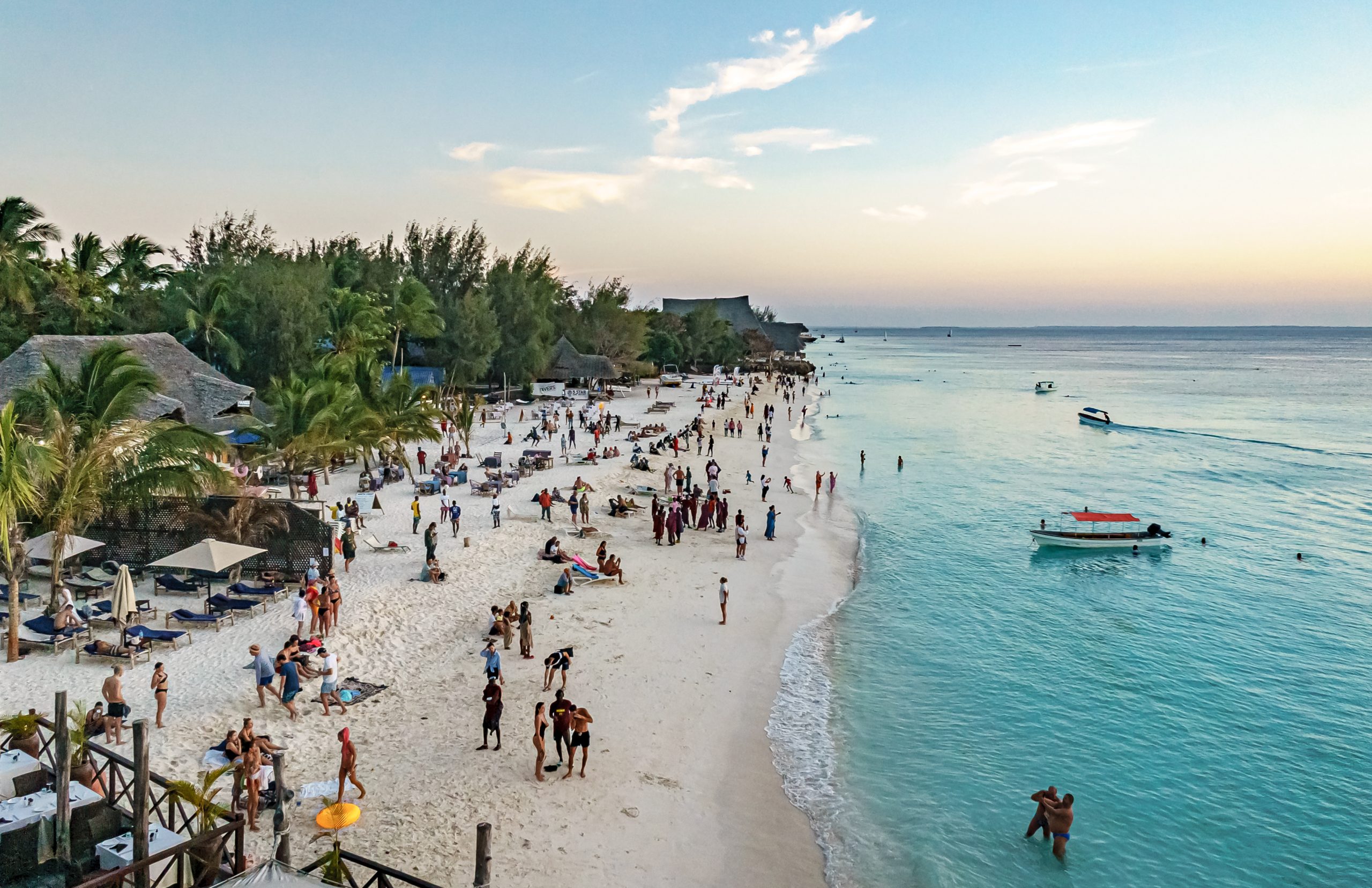
The east coast, with Paje and Jambiani. The beaches run wide. Wind brings kites that arc across the sky. The reef lies offshore, and at low tide the flats open like a mirror.
The south, around Kizimkazi and smaller villages. Boats head out early, and the pace slows. Good for mornings, better for quiet evenings.
Jozani Forest and Chwaka Bay, a green and blue pairing that holds red colobus monkeys, mangroves, and shaded walks.
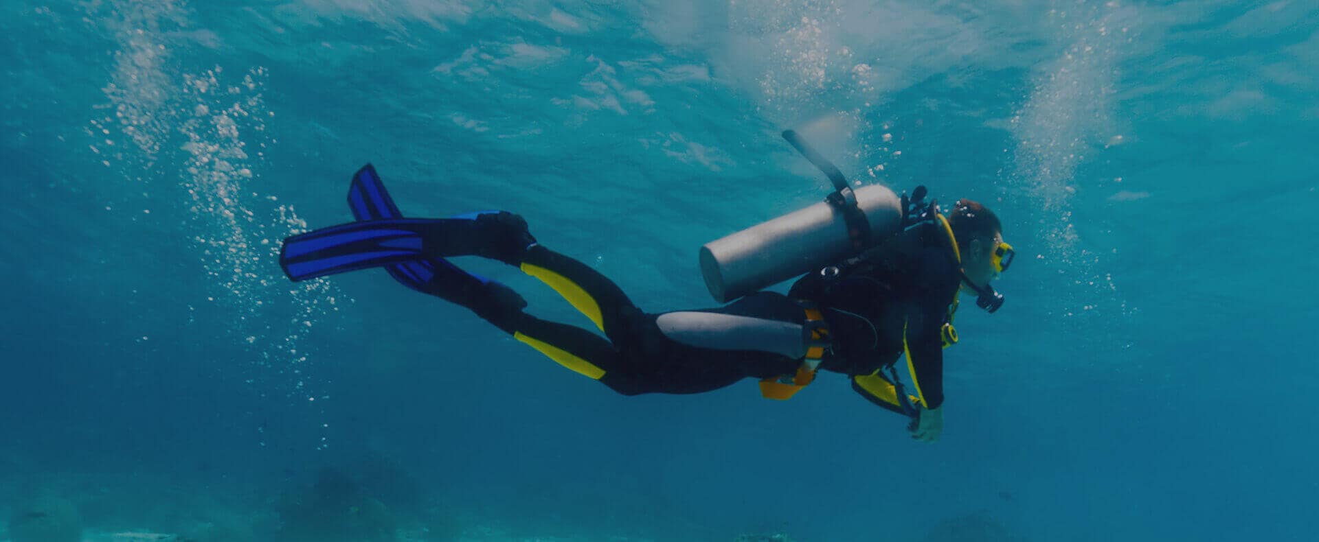
Pemba, north of Unguja, marked by fewer roads and more green. The maps always hint at depth here, and divers pay attention.
Look once, then close your eyes and try to picture the shape. If you can draw the main outline in your head, even roughly, the islands become simpler to love.

Maps can trick you into rushing. Resist that. Let the map guide pace, not pressure.
Distances look short. Roads pass through villages, farms, and school zones, and that is part of the joy. Give driving time a little slack. A line that looks like thirty minutes may be an hour with a fruit stop and a photo. You can plan two clusters each day. West and north one day. East and forest the next. Save Pemba for a dedicated window.
Pay attention to the compass. If you like sunrise runs, the east coast matters. If you want drinks with light on the water, the west side pays you back. A small shift on the map creates a big shift in mood.
Mark tide-sensitive places. Sandbanks near the reef, walks that only exist at low tide, shallow lagoons that turn glassy. A map shows the shape. Tide times tell you when to go. The pair work better together than alone.
Day one. Land near Stone Town. Walk lanes with the sea on your right. Use the map to make a loop that passes the fort, the old palace area, and the market. Pick a café at random, then pick the next one on purpose. The map keeps you from walking in circles forever, though getting lost for twenty minutes here is part of the charm.
Day two. Follow the west and north line on the map. The coastal road pulls you up toward Nungwi. Stop short if a beach catches you, or keep going to Kendwa if you want a longer swim. Your map shows the curve that faces the sunset. Trust that curve. Even if clouds gather, the sky tends to reward patience.
Day three. Use the crossing road toward Jozani. The green patch on the map is not large, but the shade feels like a gift after open sun. Watch the red colobus from the boardwalk. They do not hurry and neither should you. Continue to Paje for an afternoon walk on a wide, pale beach. Your map will show where the reef lies offshore, which explains why the tide creates those long shallow pools.
Day four. The south sits within reach. Kizimkazi faces open sea, with that end-of-road feeling many people chase. It draws fewer crowds. Watch the boats. Listen for the quiet. Then aim back toward Stone Town using the inland road your map suggests, and have dinner where you can see the water again.
You can switch the order. You can expand to five or six days by adding Mnemba or Chumbe for marine life, or Prison Island for a short boat ride and a slice of history. The map keeps your options steady while your mood shifts.
Cluster your plans. Draw soft circles on the map. One circle around Stone Town and the nearby coast. Another across the east with Jozani. A third in the north. If you try to zigzag, the day turns into driving. If you cluster, you keep your energy for swimming and walking.
Mark your sleep base on the map. If you stay in Stone Town for two nights, highlight routes that loop out and back. If you sleep north for a night, let that dot reshape the next day so you do not repeat the same road. The map helps you see when to change hotels and when to keep one base.
Think in terms of light. The map does not tell you how sunrise feels on Paje when wind is soft and sand is pale. It does not show the glow over the west when children jump from the seawall at sunset. Still, the compass rose is there. Use it to choose which side of the island to love in the morning and which in the evening.
A map cannot show how coral sand squeaks underfoot at low tide. It cannot show a cat sleeping on a carved step, or the grin of a boy on a bicycle balancing three fresh loaves. It cannot show the moment a cloud breaks and a slice of light paints a reef bright green.
It will not warn you that the lane you picked turns into a festival at dusk, and that you will lose an hour to sugarcane juice and music. The gaps are not flaws. They are your job to fill.
This is why paper still matters. Phones slip in heat or lose signal in a quiet pocket. A folded map lives in your bag and never asks to charge. Draw on it. Circle a beach someone whispered about. Write one word in the margin when a place surprised you. When you fly home, your notes become your private guide for a return.